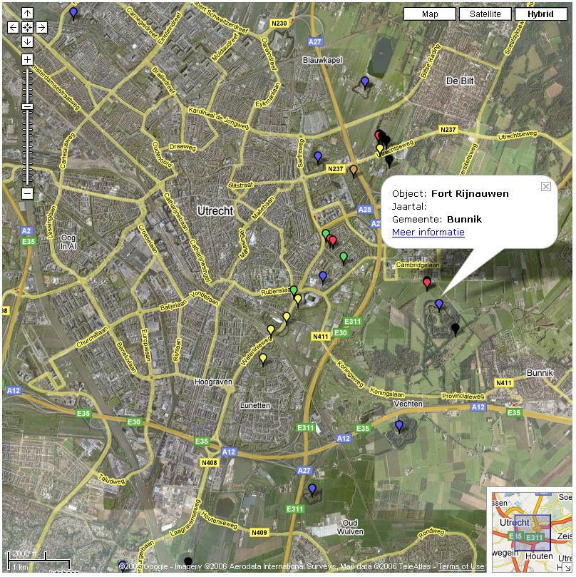
Mashup of GoogleMaps and Military History
 January 3rd, 2007, 10 past midnight. I just finished the first major step in developing a demonstrator in GoogleMaps. 1000 objects are depicted on a map. The objects are part of a historically important infrastructural project in The Netherlands, until today it's still the largest project undertaken. Larger than the Deltaworks, larger than Betuwelijn, larger than HSL, ... The objects were built as a defence mechanism previous to to first world war. By inundating a large area of the country the enemy could be brought to a stand still (in the pre-aircraft years).